Drone Services
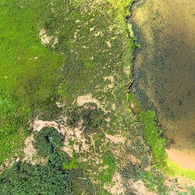
Using licensed drone operators, Envirotactics can collect valuable site information to document site development, remediation progress, flooding concerns, restoration activities, and time-lapse analysis. This data can be seamlessly stitched into orthophotos for export and use in GIS software, enhancing spatial analysis and visualization. Drone photography provides timely and supplementary data that can fill gaps between state aerial photographic collections, offering up-to-date and precise site information to support decision-making and project management.

Expert Testimony
Envirotactics offers comprehensive expert testimony services for cases related to site remediation and/or land use. With extensive experience in environmental science and regulatory compliance, our team is well-equipped to provide authoritative and credible testimony in judicial proceedings. Envirotactics has a proven track record of representing a diverse range of clients, including business owners, developers, insurance companies, residential property owners, and conservation groups. Our experts have successfully testified in numerous cases, offering insights and evidence that have been pivotal in achieving favorable outcomes.
We excel at communicating complex technical information in a clear and understandable manner, ensuring that our testimony is both impactful and accessible to all parties involved. Envirotactics is dedicated to upholding the highest standards of integrity and professionalism in all our expert testimony services, providing our clients with the support they need in legal and regulatory matters.

Geographic Information Systems & GPS
A Geographic Information System (GIS) integrates hardware, software, and data to capture, manage, analyze, and display all forms of geographically referenced information. This powerful capability is invaluable for various applications, including land management and utility services infrastructure management. Envirotactics leverages advanced GIS technology to provide comprehensive spatial analysis and mapping services, supporting effective decision-making and strategic planning for our clients.
Habitat Mapping
Utilizing experienced environmental personnel, Envirotactics collects essential habitat and biotic community data to support the development of properties and right-of-ways. This data is meticulously gathered and analyzed, then published in full-color maps that guide site development by identifying and avoiding regulated environmentally sensitive areas. Our expertise ensures that development projects proceed with minimal environmental impact while complying with all relevant regulations.
Contamination Migration Pathways
By utilizing multiple data sources including groundwater and soil contamination data and geologic information, Envirotactics can predict and anticipate the spread of contamination throughout a site. By utilizing this resource early in the clean-up process clients can save substantial costs by predicting contamination migration and acting accordingly.
Three Dimensional Renderings
Envirotactics' advanced GIS capabilities enable the creation of detailed 3D renderings of proposed developments and existing structures, facilitating line-of-sight analysis and the generation of three-dimensional visibility maps. We can model real-world surface features, such as buildings, as well as subsurface features like wells, mines, groundwater, and underground storage facilities. This process also allows us to generate shadow diagrams for waterfront buildings, as required by the NJDEP. Our cutting-edge GIS technology provides valuable insights and visualization tools that support effective planning and decision-making for your development projects.
